Conditions and flows
River conditions on the McCloud and the Upper Sacramento
A fishing report is a summary of four measurable things and one unmeasurable one. The four are flow, clarity, water temperature and the weather of the previous week. The fifth is how hard the person writing the report was willing to work. This section deals with the four you can check yourself.
In short
On the Upper Sacramento, conditions swing with rain and snowmelt and can change in a day. On the Lower McCloud, spring inflow and a controlled dam release keep flow and temperature far steadier, which is why it fishes in August when the Sacramento has gone warm. Check flow first, clarity second, water temperature third.
The four numbers behind any report
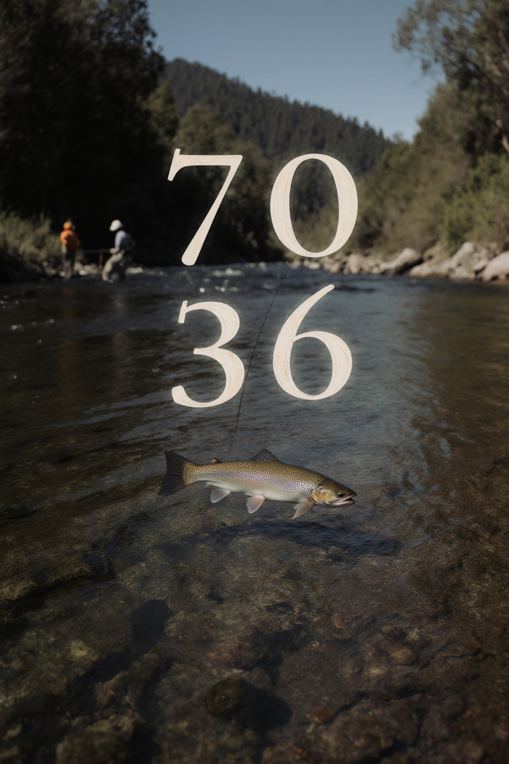
Anglers argue about flies. Rivers are decided by water. Before any pattern matters, four measurements set the range of what is possible on a given day, and all four are published or easily taken.
Flow
Discharge in cubic feet per second, measured at public gauging stations. It tells you where you can wade, how much weight you need and whether trout are pushed to the edges or spread across the river.
Clarity
How far you can see into the water. It sets leader length, fly size and whether the fish will move any distance to eat.
Water temperature
The single best predictor of whether trout will feed at all. Take it yourself with a cheap stream thermometer rather than trusting an air forecast.
The week before
A river that has been dropping steadily for five days fishes nothing like the same river on the second day of a rise, even at the same number.
The page on how to read a fishing report for these rivers takes each of the four apart and explains which public source publishes the current figure, so that a report written last Thursday does not decide your Saturday.
Why the two rivers behave differently
The Upper Sacramento is a freestone river. Its water arrives as rain and as snowmelt off the Trinity Divide and the flanks of Mount Shasta, it has no large storage above the trout water apart from the small dam at Box Canyon, and it responds to weather within hours. A warm storm in March can double the flow overnight and colour the whole river brown to Shasta Lake.
The Lower McCloud is close to the opposite. Below McCloud Dam the river receives an enormous volume of cold spring water from the porous volcanic ground around Mount Shasta, and the dam moderates what comes from above. The result is a river with a narrow temperature band and a flow that changes far less than the weather does. Its complication is not flow but colour: Mud Creek, which drains a glacier on Mount Shasta, can push grey glacial silt into the system during hot spells, and the river can be milky while the Sacramento forty minutes away is gin clear. That mechanism is explained in McCloud River water flow and clarity.
Best time of year to fly fish the McCloud River
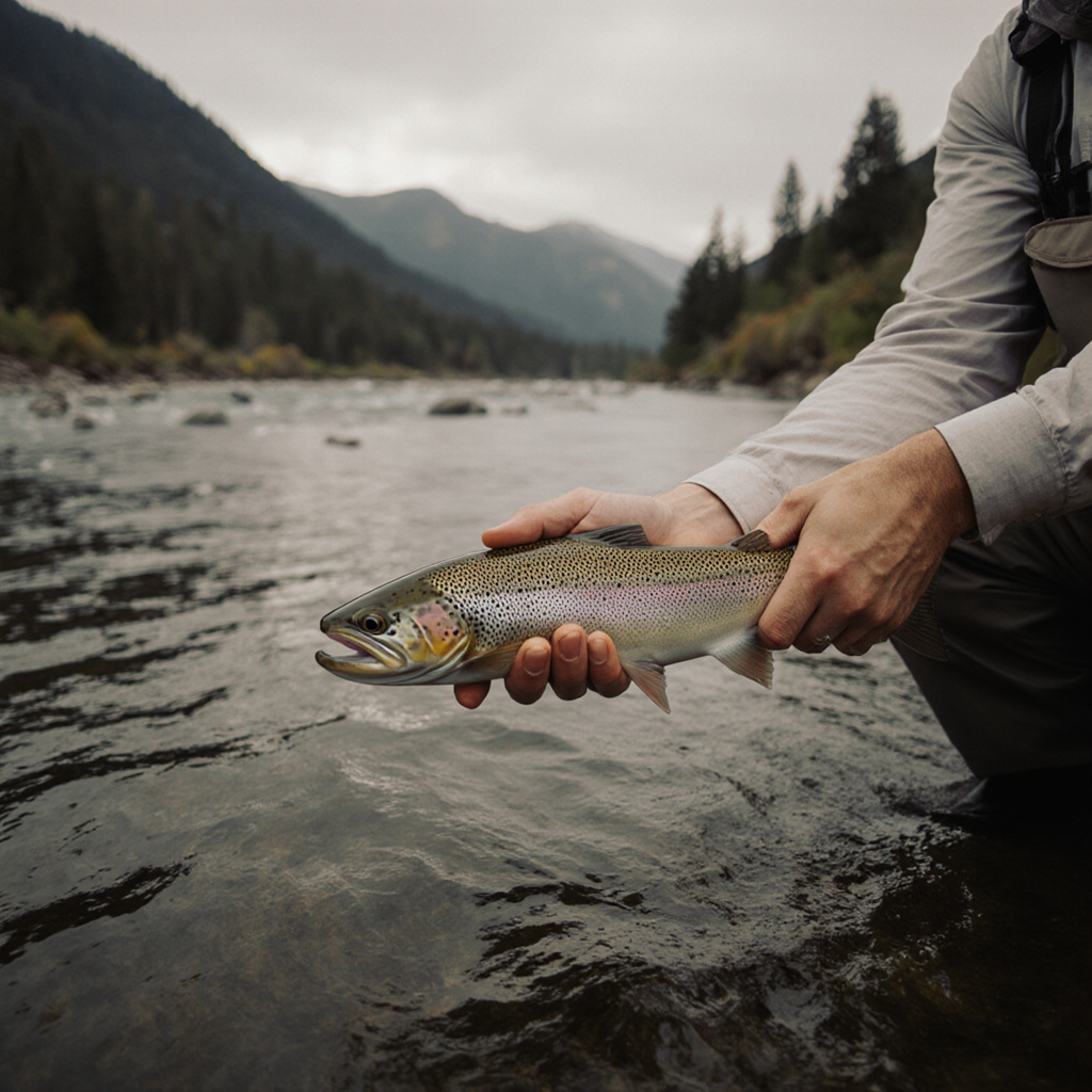
If you can only come once, come in the second half of June or in the first three weeks of October. Those two windows combine settled water, active insects and tolerable air temperatures, and they avoid both the heavy runoff of late spring and the thin, cold light of late autumn.
| Period | Upper Sacramento | Lower McCloud |
|---|---|---|
| Late winter | Low and cold, clear between storms, small mayflies on grey afternoons | Cold and stable, few anglers, access road can be difficult |
| April to early June | Snowmelt, high and pushy, best fished on the drop after a warm week | Steadier than the Sacramento but still carrying spring water |
| Late June to July | Settled and generous, caddis everywhere, fish early and late | Prime, cold water, stoneflies and caddis, long days |
| August | Warm in the lower canyon by afternoon, fish the upper reaches at first light | Still cold, still fishing, the strongest argument for the McCloud |
| September to October | Cooling, October caddis, brown trout moving, excellent | Excellent, low light in the canyon, big fish feeding before winter |
| November onwards | Short days, cold water, quiet, many waters close for the season | Cold and quiet, check which reaches remain open |
Season dates and closures are not the same thing as good fishing, and they change. The regulations section explains how California publishes them and how to check the reach you intend to fish.
Why a week old report is nearly useless here
Both rivers sit under a mountain that makes its own weather. A single thunderstorm over the Trinity Divide can put colour into the Sacramento in an afternoon, and a run of hot days can raise the lower canyon four or five degrees. A report describing last Tuesday tells you what insects were about and roughly how deep people were fishing, which is useful. It tells you nothing about today's water.
The habit worth building is simple: read the report for the pattern, check the gauge for the number, and take your own temperature reading when you arrive. If the three disagree, believe the thermometer.
The six pages in this section
Conditions, season by season
-
20/08/2026
How to read a fishing report for the McCloud and Upper Sacramento
The four numbers a report rests on, which public source publishes each one, and how to check conditions today rather than last week.
-
11/08/2026
McCloud River water flow and clarity
Spring inflow, dam release and the glacial silt from Mud Creek: why this river can run milky in a heatwave and clear after rain.
-
02/08/2026
Snowmelt and the early season, April to June
Reading a rising river against a falling one, the March brown and blue winged olive windows, and when the water usually settles.
-
25/07/2026
Drought years: low, warm water and what changes
What the California drought of the 2010s taught anglers about where trout hold and when to leave them alone.
-
16/07/2026
Summer water temperature and trout stress
The temperature thresholds that matter for rainbow trout, how to measure them, and why the McCloud stays in range when the Sacramento does not.
-
04/07/2026
Autumn: falling flows, October caddis and the first storms
September to November on both rivers, the largest caddis of the year, and what the first serious rain changes.