In short
Give the Upper Sacramento the days when the weather is cool or unsettled, and give the McCloud the days when it is hot. Budget a full day for the McCloud canyon because of the drive, and keep one flexible day in a three day trip. Base yourself in Dunsmuir, Mount Shasta City or the town of McCloud, all within half an hour of each other.
The distances that shape a plan
Mount Shasta City to Dunsmuir
About ten minutes on the freeway, both towns on the Upper Sacramento
Dunsmuir to McCloud town
Roughly half an hour on paved highway
McCloud town to the lower canyon
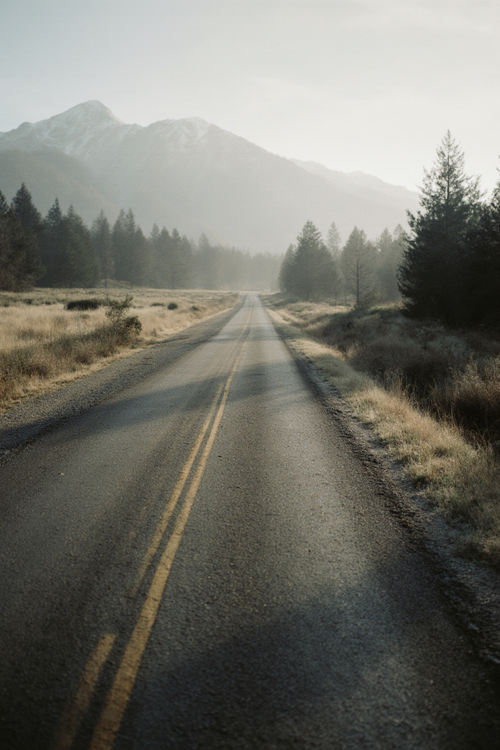
About an hour, most of it graded dirt, with no fuel and no phone signal
Dunsmuir to the lower canyon of the Sacramento
Fifteen to thirty minutes on the freeway, exit by exit
Those four lines explain the whole logic of a short trip. Anything on the Sacramento is a short hop. Anything on the Lower McCloud is a commitment.
A two day structure
Day one: the Upper Sacramento
Start at first light at an access point in the upper part of the canyon, near Dunsmuir, where the water is coldest. Fish two or three short stretches, moving by mid morning. Take a long midday break, particularly in summer, and return for the last two hours of light at a different access point further down the canyon. The access points page lists the corridor from north to south.
Day two: the Lower McCloud
Leave early, accept that an hour of the morning goes on the drive, and treat the day as one long session rather than a series of stops. Take food, water and a headlamp, because the canyon goes dark before the sky does. Fish deeper and slower than you did on the Sacramento, with more weight.
A three day structure
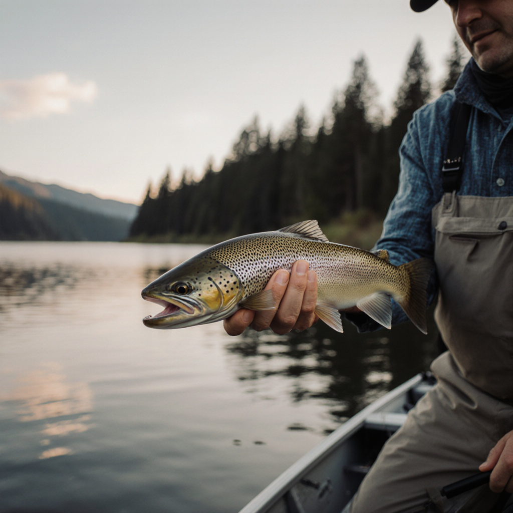
The extra day changes the trip more than the arithmetic suggests, because it lets the weather decide.
- Day one, the Upper Sacramento, learning the water close to your base and finding out what the fish want.
- Day two, the Lower McCloud, the full commitment, chosen for whichever day is forecast hottest.
- Day three, whichever went better, or the upper McCloud near the falls if you want something gentler, or the lower Sacramento canyon if the weather has cooled.
The fallback, which is the whole point
Have a decision rule written down before you leave. Something like this works:
| Situation | Where to go | Why |
|---|---|---|
| Hot week, air above 32 C | Lower McCloud | Spring fed and cold when the Sacramento is not |
| Heavy rain or fast melt | Lower McCloud | Buffered by the dam and the springs, far less prone to blowing out |
| Hot spell and the McCloud has gone milky | Upper Sacramento, at dawn | Glacial silt clouds the McCloud in heat; fish the Sacramento early and stop by mid morning |
| Cool, overcast, settled | Upper Sacramento | Best mayfly conditions and the easiest access on either river |
| Short on time | Upper Sacramento | Ten minutes from town to water instead of an hour and a half |
The reasoning behind the first three rows is on the pages about water temperature and flow and clarity.
Where to base yourself
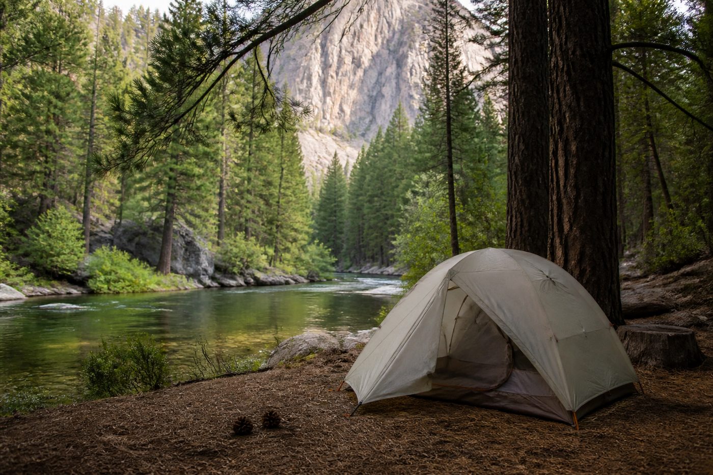
Dunsmuir, Mount Shasta City, Castella and the town of McCloud all sit within half an hour of each other, and all of them put you within reach of both rivers. Camping is mostly on national forest and state park ground, listed in the camping table. Whichever you choose, fill the tank the evening before a McCloud day: there is no fuel on the canyon road, and the round trip is longer than it looks.
Before you leave
Everything that goes in the bag is on the gear checklist, and the flies are on the starter box page. The one item worth repeating here is the thermometer, because on this pair of rivers it is the instrument that decides which one you fish.