Access and camping
Getting to the water around Dunsmuir, Castella and McCloud
One of these rivers is among the most accessible trout streams in California, with signed public access beside a freeway. The other is among the least accessible, reached by an hour of gravel road and then a footpath. Planning a day means knowing which one you are dealing with.
In short
The Upper Sacramento can be reached from Interstate 5 exits and from the streets of Dunsmuir, with dozens of marked public access points along roughly 38 miles of river. The Lower McCloud has essentially one public road in, to Ah Di Na, plus a walk in preserve downstream of it, and much of the river below that is private. Camping on both rivers is mostly Forest Service.
Fly fishing near Mount Shasta California: the geography in one paragraph
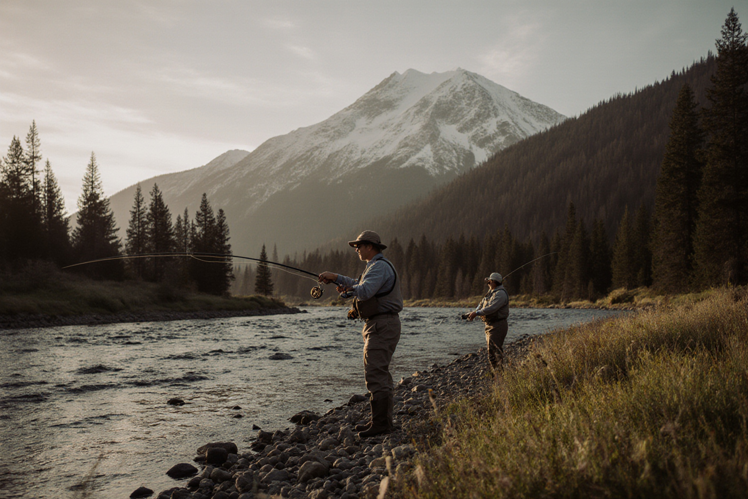
In practice this comes down to two rivers, plus a handful of small streams on the Trinity Divide. Mount Shasta City, Dunsmuir, Castella and the town of McCloud sit within about twenty five miles of each other. Interstate 5 runs north to south through the Sacramento canyon, with the river and the Union Pacific mainline squeezed into the same gap. Highway 89 runs east from the freeway at Mount Shasta City to the town of McCloud, and the road to the Lower McCloud leaves from there, running south past the reservoir and then dropping into the canyon on gravel. Driving from Dunsmuir to the town of McCloud takes roughly half an hour. Driving from the town of McCloud to the water at Ah Di Na takes about an hour more, most of it slow.
Access on the Upper Sacramento
Public access on the Sacramento is unusually good and unusually specific. Signed fishing access points appear at freeway exits and at bridges from the Cantara Loop north of Dunsmuir down to the Delta and Lakehead area at the head of Shasta Lake. Some are short walks from a lay by, others involve a genuine scramble down a bank. Dunsmuir itself gives street level access through the town park and neighbouring roads.
Two rules apply everywhere along this river. First, the railway is live, in constant use, and private property: crossing tracks is both dangerous and unlawful, and the underpasses and marked crossings exist for a reason. Second, access signs mark public entry to a river that is otherwise bordered by private land in many places. The detailed run through, north to south, is on the Dunsmuir access points page.
Access on the McCloud
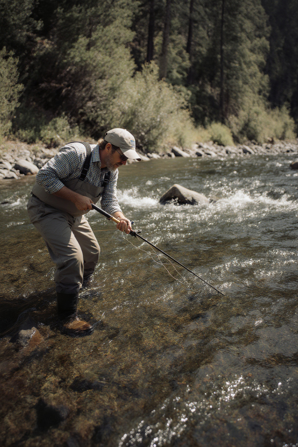
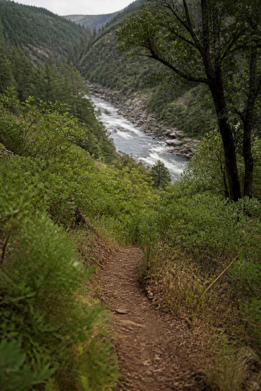
The McCloud divides into three quite separate propositions. Above the reservoir, near the town of McCloud, the river runs past a series of waterfalls with easy roadside access and campgrounds beside it. The reservoir itself is a lake. Below the dam, the Lower McCloud runs into a steep canyon, and the practical public access is the Forest Service ground around Ah Di Na, reached by the graded dirt road out of McCloud, plus the walk in nature preserve immediately downstream, which limits the number of anglers on the water at any one time and applies its own fishing rules. Below the preserve the river runs through private holdings to Shasta Lake.
What that means in practice: the McCloud rewards planning and punishes improvisation. The road is slow, there is no fuel and no phone signal in the canyon, and turning around at four in the afternoon because you misjudged the walk is a long evening.
McCloud River camping and river access
Almost all of the camping on both rivers is public land, run by the Shasta Trinity National Forest or by California State Parks. Sites fill in July and August, and some operate on a first come basis while others take reservations. Opening dates depend on snow.
| Campground | River | What it gives you |
|---|---|---|
| Fowlers Camp | Upper McCloud, near the falls | Paved access, the waterfall trail, family camping, busy in summer |
| Cattle Camp | Upper McCloud, further east | Quieter, forested, close to the upper river meadows |
| Ah Di Na | Lower McCloud, below the dam | The base camp for the canyon water, reached by a long dirt road |
| Sims Flat | Upper Sacramento, south of Castella | On the river, off Interstate 5, good access to the middle canyon |
| Castle Crags State Park | Upper Sacramento, at Castella | Showers, the river a short walk away, granite spires overhead |
Fees, opening dates and reservation systems change from season to season, so check with the managing agency before relying on a site. Dispersed camping on national forest land is permitted in places and prohibited in others, and fire restrictions in late summer are strict and enforced.
What the canyon asks of you
- Poison oak is everywhere below about four thousand feet and is at its most potent in spring. Learn the leaf.
- Rattlesnakes use the same warm rock ledges anglers scramble over. Look before you place a hand.
- Black bears are common around the campgrounds. Food goes in the locker, not in the tent.
- Ticks are active from late winter through spring in the brush above both rivers.
- The wading is the real hazard. Round rock, strong current, and by August a coat of algae. Studded soles and a staff are ordinary equipment here, not precautions.
What to carry for a day of that is set out in the gear checklist, and two workable weekend structures are on the trip planning page.
The page in this section
Access, point by point
-
06/08/2026
Dunsmuir fly fishing access points, north to south
The corridor from the Cantara Loop down to the lower canyon, what the water looks like at each stop, and where the walking is easy.