In short
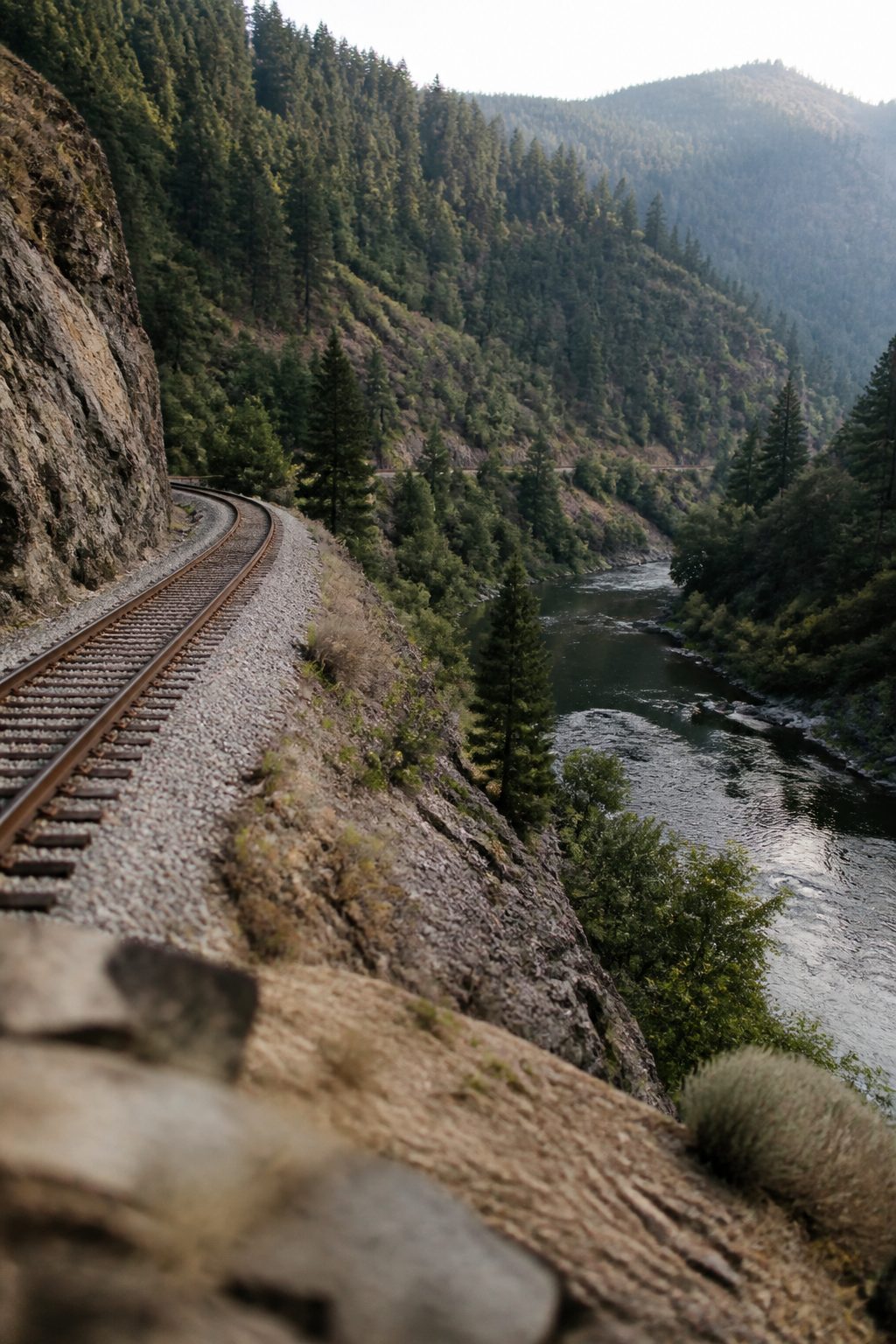
Access runs from the Cantara Loop north of Dunsmuir down to the Delta and Lakehead area at the head of Shasta Lake, with signed public entry at freeway exits, bridges and town streets. Upper reaches are colder and smaller, lower reaches are bigger and warmer. Never cross or walk the railway: it is live, private and dangerous.
The shape of the river
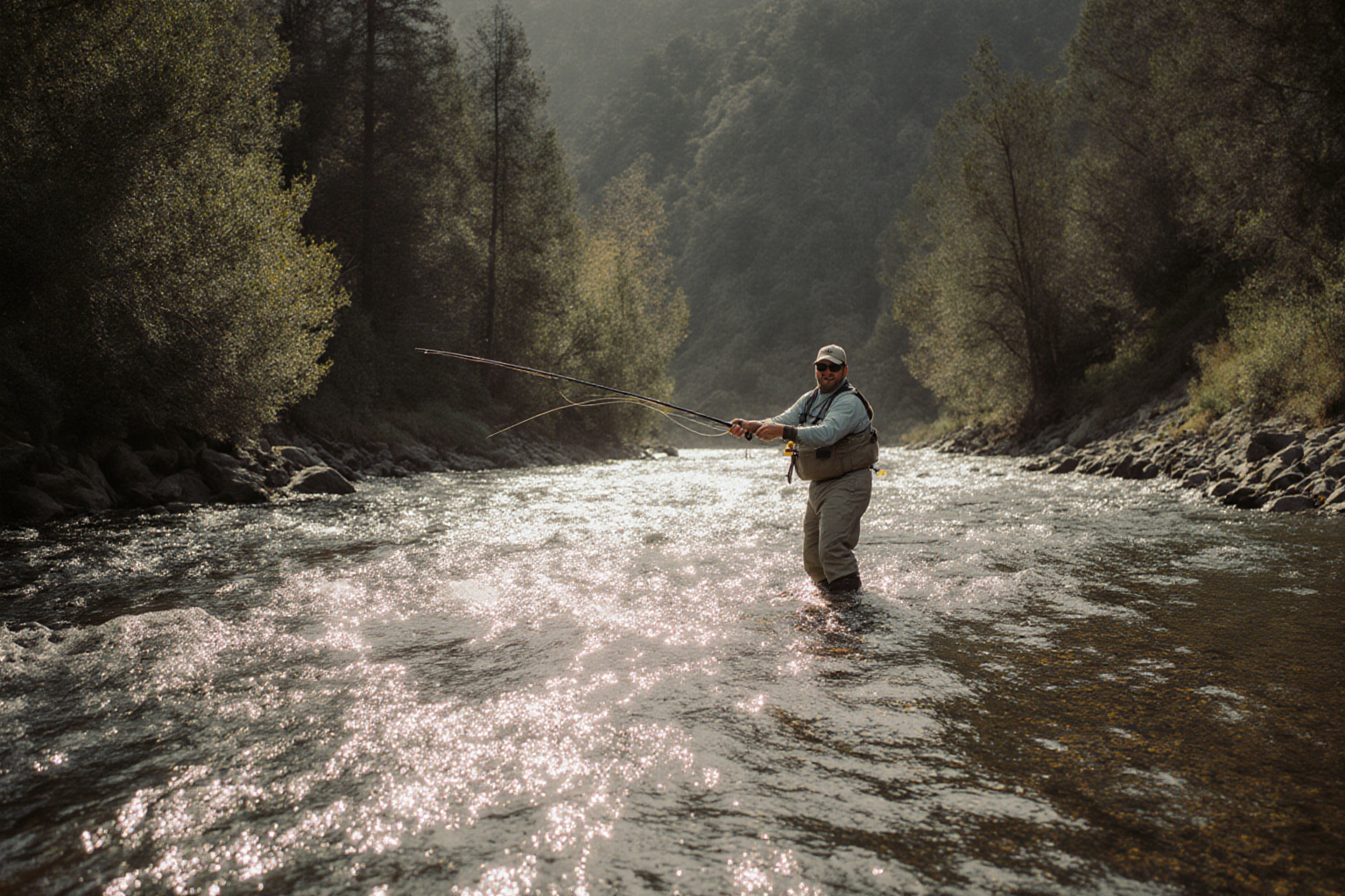
The Upper Sacramento begins at Box Canyon Dam below Lake Siskiyou near Mount Shasta City and runs south for roughly 38 miles into Shasta Lake. It gathers water the whole way, so the river at the top is a small, cold, brushy stream and the river at the bottom is a substantial freestone river that warms markedly in summer.
That gradient is the most useful planning fact on this page. In hot weather, work the upper reaches early. In cold weather, or early and late in the season, the lower canyon is often several degrees warmer and correspondingly more productive.
The corridor, north to south
| Area | Getting in | Character of the water |
|---|---|---|
| Cantara Loop and Ney Springs | Side roads west of the freeway north of Dunsmuir | Smaller, cold, tight casting, historically significant as the site of the 1991 spill |
| Mott and upper Dunsmuir | Old highway and town roads | Classic pocket water at a comfortable size, good all season |
| Dunsmuir town park and Prospect Avenue | Street parking in town, short walks | Accessible, popular, fishes better early and late than in the middle of the day |
| Soda Creek and Castella | Freeway exit at Castella, roads to the river | Bigger water, good runs, the Castle Crags overhead |
| Castle Crags State Park | Park entrance at Castella, day use | Walk in access with facilities, family friendly, moderate crowds |
| Sweetbriar | Freeway exit and bridge south of Castella | A long stretch of classic riffle and pool, one of the best known reaches |
| Shotgun Creek and Conant | Marked access from the old highway | Quieter, steeper banks, rewards walking |
| Sims Flat | Freeway exit, campground on the river | Good size water with a campground, an obvious base for the middle canyon |
| Gibson, Pollard Flat and Vollmers | Freeway exits into the lower canyon | Larger river, warmer in summer, excellent in spring and autumn |
| Lamoine and Delta | Freeway exits near the head of Shasta Lake | The biggest water of the river, best outside the hottest months |
Signage, parking and permitted entry change over time, and some points that were open one season are closed for construction or safety the next. The state publishes current public access information for the river, and the towns along it post local notices. Treat the table above as a description of the corridor rather than a guarantee about any single lay by.
The railway rule
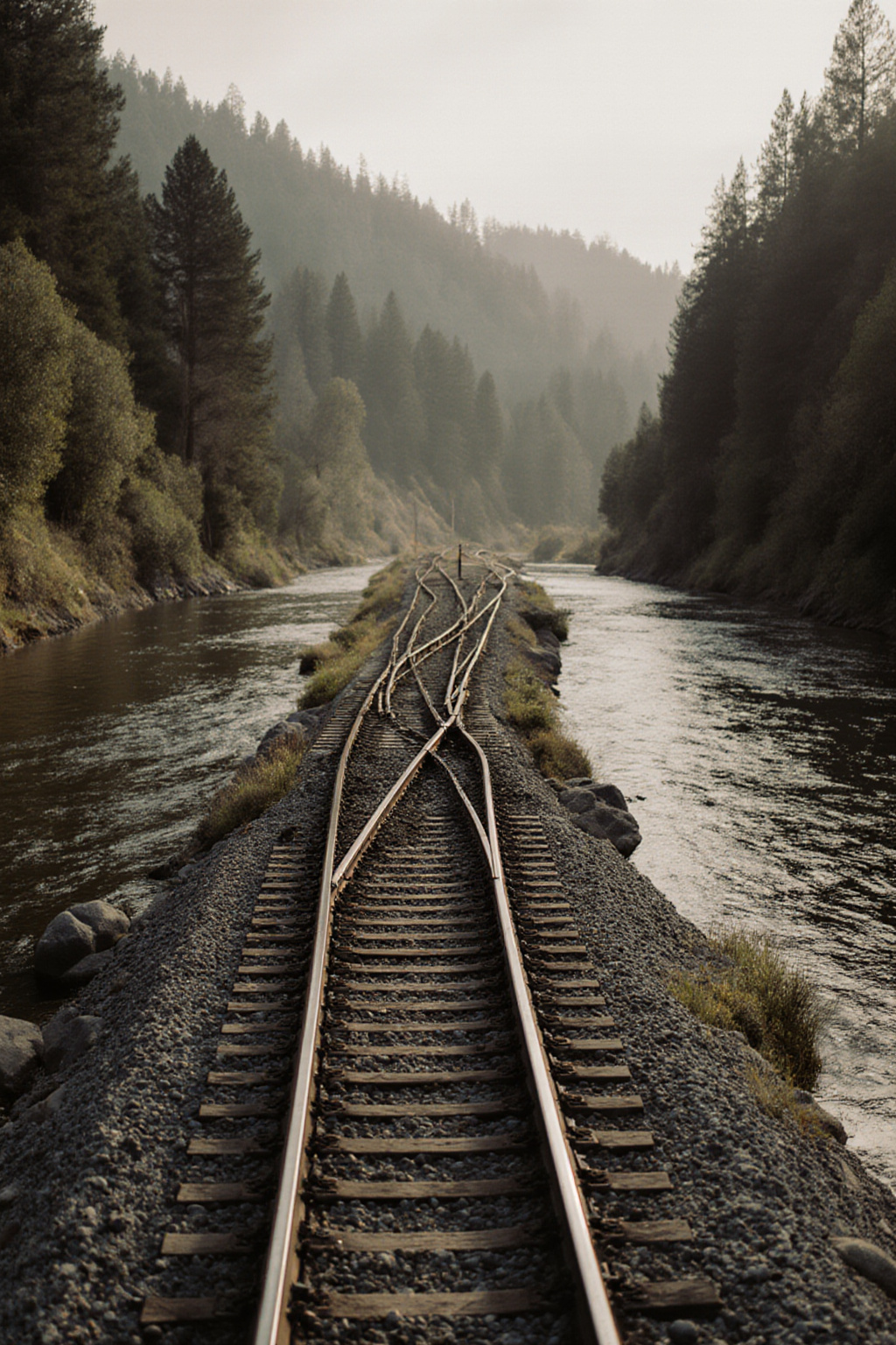
A mainline railway runs the length of this canyon, often within a few metres of the water, and it carries freight day and night. The track and the ballast beside it are private property, and walking, crossing or fishing from them is both unlawful and genuinely dangerous. Modern locomotives are quiet and the canyon walls confuse the sound.
Use the underpasses and the marked crossings. Where there is no legal way from the road to the water, there is no access at that point, and there is another one a few minutes down the highway.
Sharing a narrow river
- Look before you park. If a car is already at the lay by, someone is in that stretch. Drive on.
- Enter downstream of another angler, never above them, and leave a generous gap.
- Walk on the bank, not through the river, when passing water someone else is fishing.
- Respect private land. Access points are specific for a reason. Fenced ground on either side of them is not public.
Building a day around access
The practical way to use this corridor is to plan three stops rather than one. Fish the first at dawn, move by mid morning, and keep the third in reserve for the evening. Because everything is close to the freeway, moving costs minutes rather than hours, which is a luxury this river offers and the McCloud does not.
For the camping options along the same corridor, see the camping table. For how to fish the water once you are in it, see nymphing the Upper Sacramento.