In short
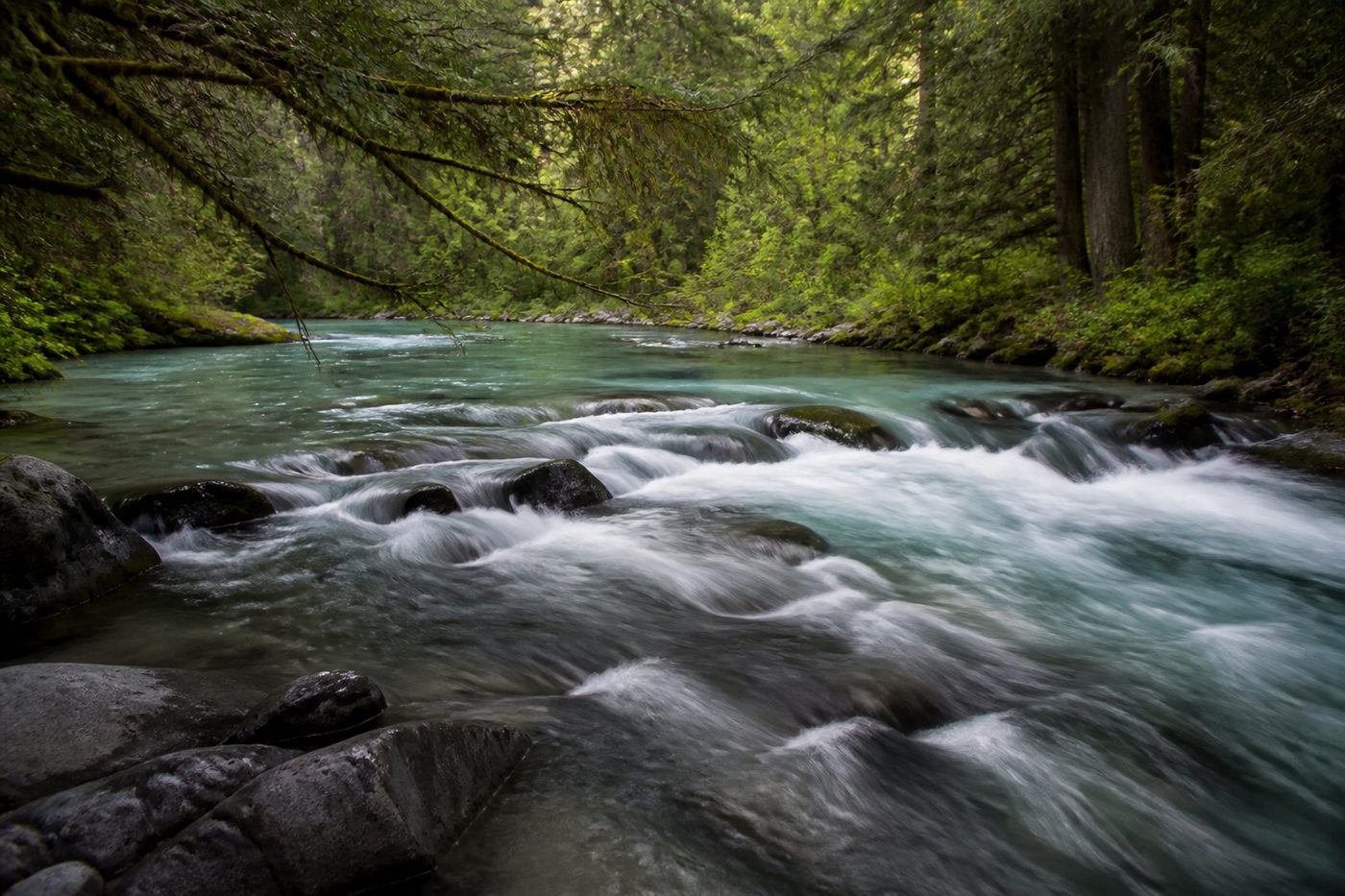
The Lower McCloud is fed by huge cold springs and regulated by McCloud Dam, so its flow is unusually stable. Its clarity is not: Mud Creek drains a glacier on Mount Shasta and can push fine grey glacial silt into the system during hot weather, turning the river milky in August while nearby rivers run clear.
Where the water actually comes from
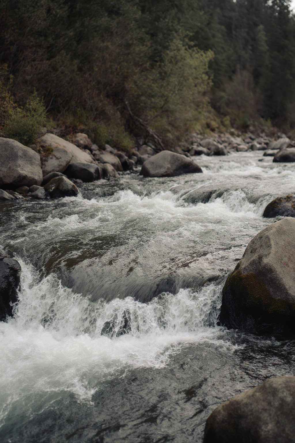
Mount Shasta is a young volcano built of porous rock. Snow and rain sink into it rather than running off, travel underground, and emerge lower down as springs of remarkable size and consistency. Several of them feed the McCloud, which is why the river below the dam carries cold water through the hottest part of a Californian summer and why its flow does not spike after every storm the way a normal freestone river does.
Layered on top of that is McCloud Dam, which impounds McCloud Reservoir above the canyon. Releases from the dam set a baseline, and the springs add to it downstream. The result is a river with a narrow flow range and a narrow temperature range, which is the single best thing about it.
The milk in the water: Mud Creek and glacial flour
The exception to all that stability arrives from above. Mud Creek drains a glacier high on the south side of Mount Shasta. Glaciers grind rock into an extremely fine powder, often called glacial flour, and when the glacier melts hard, in the hottest weeks of summer, that powder goes into the creek and eventually into the McCloud system. It does not settle quickly, because the particles are too fine, so the river takes on a pale grey or jade cast that can persist for days.
This produces a genuinely counterintuitive rule: on the McCloud, heat clouds the water. A run of days above thirty degrees Celsius is a reason to check colour before driving in. A cool, cloudy spell is often when the river looks its best.
The practical version
- Hot spell, especially late July and August: expect reduced clarity in the McCloud system, sometimes markedly.
- Cool weather, even wet weather: the McCloud generally clears while the Sacramento colours up.
- The two rivers are therefore often out of phase, which is exactly why a trip should keep both in reserve.
Reading the flow figure
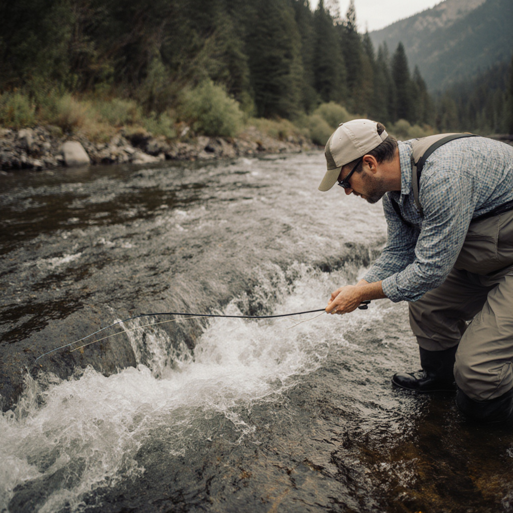
Flow on the Lower McCloud is a combination of the dam release and the spring inflow below it, so a gauge reading taken high in the canyon and one taken low in it will differ substantially, and the river gets bigger as you go down. When you read a figure, note where it was measured. A flow that seems modest at the dam can be a serious wading proposition several miles downstream.
Because the river is regulated, changes in release are not necessarily tied to weather. A river that comes up on a bluebird day has not been rained on; something upstream has changed. Fish tend to react to that for a few hours and then settle.
What clarity changes about the fishing
| Water looks like | Leader and tippet | Fly choice | Where to fish |
|---|---|---|---|
| Clear, bottom visible in deep runs | Long leader, 5X or 6X | Smaller and more natural, size 16 to 20 | Anywhere, but approach carefully and stay low |
| Jade, two to three feet of visibility | Standard 9 ft leader, 4X to 5X | Standard nymphs, a bright bead helps | The whole river. This is the McCloud at its best |
| Milky, under a foot | Short and strong, 3X to 4X | Larger, darker or with contrast, added weight | Slow edges, tails of pools, seams close to the bank |
| Grey, near zero visibility | Not worth rigging | Not worth rigging | Move to the Upper Sacramento |
In poor clarity, trout cannot see a fly at distance, so the fly has to come to them. That means slowing everything down, fishing closer to the bank and accepting shorter drifts. It also means a heavier fly, because the fish will not rise through cloudy water to intercept anything.
Flow, clarity and temperature are one system
These three variables are not independent. Lower flows warm faster, warmer weather makes more glacial silt, and cloudy water absorbs more heat than clear water does. On the McCloud the spring inflow keeps that spiral in check, which is why the river remains fishable in August when the Sacramento canyon is too warm by mid afternoon. The page on summer water temperature covers the thresholds that matter.
Before travelling, read the current numbers rather than a report. How to read a fishing report lists which public sources publish flow and temperature, and how to interpret them for the specific reach you plan to fish.